The Best 3D Roof Measurement Tools for Contractors in 2026
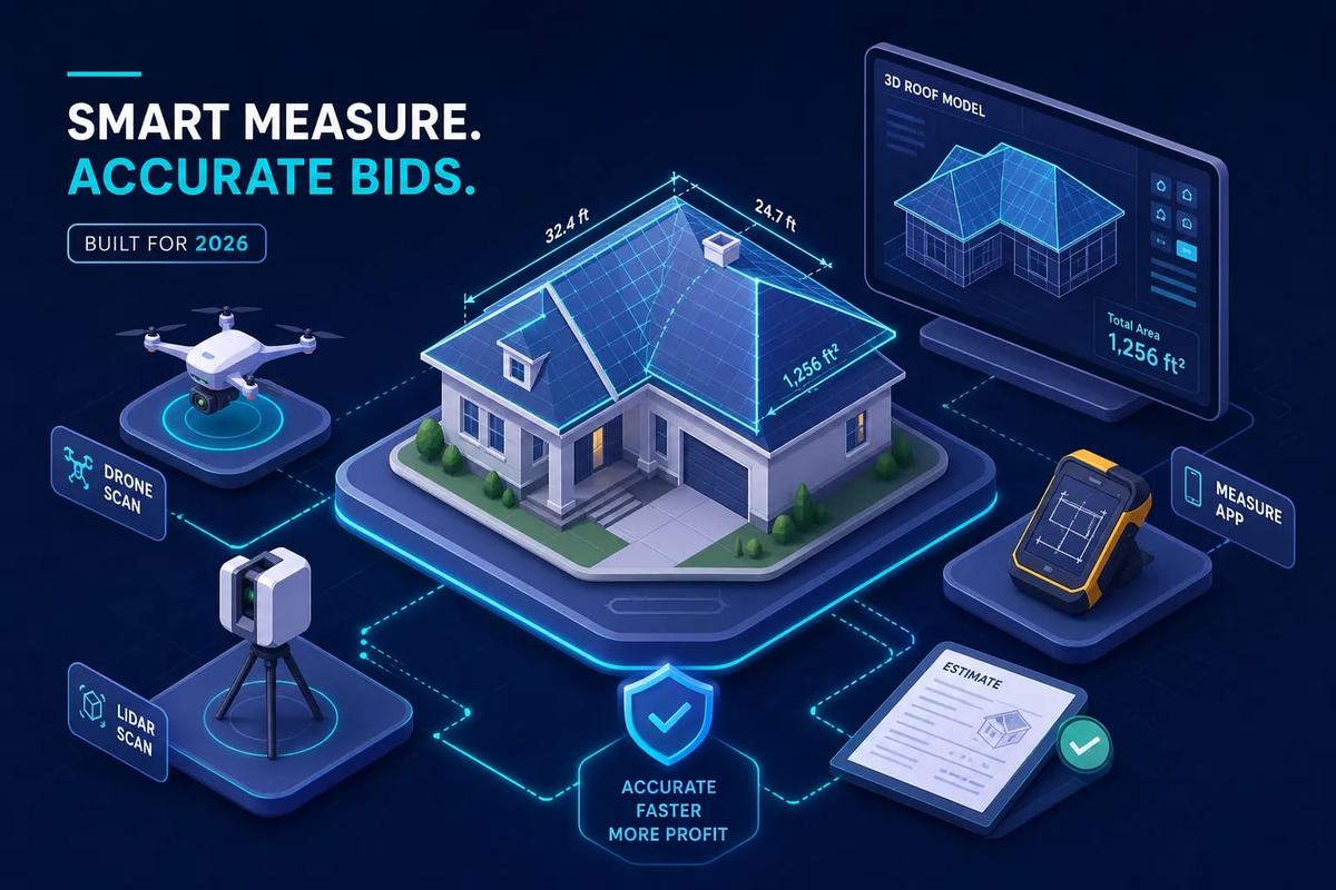
The four methods roofing contractors use for accurate 3D roof measurement without climbing every slope are satellite-based aerial reports (EagleView, GAF QuickMeasure, Roofr), smartphone photo capture (HOVER), drone photogrammetry (Pix4D), and manual field measurement. For standard residential work, a satellite aerial report runs between $13 and $87 per roof and arrives within an hour to 48 hours, according to roofingsoftwareguide.com, and independent benchmarks place accuracy within 1 to 2 percent of physical measurements for typical residential roofs, according to Haag Engineering research. The right approach depends on your volume, accuracy requirements, and what happens to that data once you have it.
Many contractors make the selection mistake too late: they pick a tool based on price, then discover it doesn't connect to their estimating platform. This guide covers all four approaches, including accuracy benchmarks from independent studies, real pricing, hardware requirements, regulatory constraints, and integration support, so you can pick the method that fits your workflow and stop absorbing the cost of the wrong tool on every job.
Key takeaways
- Accuracy is solid: Independent studies place aerial roof measurements within 1 to 2 percent of physical measurements for standard residential roofs, according to Haag Engineering research.
- Cost range varies widely: Satellite reports run $13 to $87 per roof; subscription models range from $49 to $349 per month depending on the platform, according to roofingsoftwareguide.com and builderlync.com.
- Speed matters: GAF QuickMeasure delivers in under an hour; EagleView's standard turnaround is 24 to 48 hours, with a rush option around 3 hours, according to roofingsoftwareguide.com and EagleView's published service information.
- ESX is the key format: For Xactimate-based insurance work, ESX export is non-negotiable. Not all tools support it.
- Accuracy has limits: Tree canopy, steep slopes, and unusual roof geometry reliably increase measurement error. For contested claims or complex structures, field verification is the right call regardless of what the report shows.
- The workflow gap is real: Getting a measurement report is only half the job. Converting it into a priced proposal still costs most contractors 30 to 90 minutes per estimate, according to roofingsoftwareguide.com.
How 3D roof measurement actually works
Each of the four approaches captures geometry differently, and the tradeoffs between speed, accuracy, and cost are worth understanding before you choose a method. Satellite and aerial services give you the fastest turnaround with no field time; drone photogrammetry delivers the highest precision but adds equipment, training, and regulatory obligations; smartphone capture splits the difference; and manual measurement remains the right fallback when imagery fails.
Satellite and aerial imagery services
Providers like EagleView and GAF QuickMeasure pull from existing image libraries captured by aircraft or satellites using high-resolution oblique and nadir photography. Proprietary algorithms process the imagery to identify roof facets, model pitch, locate ridges and valleys, and calculate total area. No site visit is required, which is why turnaround can be measured in hours rather than days. This category of roof measurement software dominates the residential market for exactly that reason.
Drone photogrammetry
A UAV flies a planned grid over the property, capturing overlapping nadir and oblique photos. Photogrammetry software like Pix4D stitches those images into a point cloud or 3D mesh, then extracts measurements from the resulting photogrammetry roof model. This approach makes the most sense for large commercial roofs, complex geometry that aerial imagery struggles with, or survey-grade accuracy requirements where a standard report isn't sufficient. Drone roof measurement adds regulatory overhead that satellite-based services don't, which is why most residential contractors skip the in-house program.
Smartphone photo capture
Tools like HOVER generate a 3D model from photos taken from the ground using a smartphone roof measurement app. The contractor or homeowner walks the perimeter, captures the required angles, and uploads the set. HOVER's reconstruction algorithm produces measurements and a photorealistic exterior model. The photo circuit takes several minutes in the field depending on the property's size and complexity, and the visualization output is strong for retail sales presentations.
Manual field measurement
The traditional approach means walking the roof with a measuring tape or wheel, sketching each facet by hand, recording pitches and dimensions, and entering everything into a spreadsheet later. It's slower and more physically demanding, but it remains the right fallback for heavily obstructed roofs where imagery fails. It's also the correct call for older structures with unusual geometry that automated tools consistently misread.
3D roof measurement accuracy: what the independent studies found
Vendor accuracy claims vary in how they're defined and measured, so independent studies are more useful than marketing materials when evaluating the numbers.
What the benchmarks show
Three published benchmarks give a reliable picture. In a Haag Engineering study of 13 roofs using Kespry UAVs, automated results averaged 99.4 percent of manual measurements, with roof-area differences ranging from +1.2 to -2.7 percent, according to Haag Engineering research published in GeoWeek News. A separate Haag study comparing Nearmap automated measurements to physical surveys of 39 roofs found a total area difference of just 0.1 percent overall, with average absolute variation of 1.6 percent per building. A CompassData benchmark using LiDAR reference models found that EagleView reports averaged 98.77 percent accuracy for roof lines, with an average linear difference of 0.2 feet, or approximately 2.4 inches, according to EagleView's published comparison. On a 2,000-square-foot roof, a 1.5 percent area error equals about 30 square feet, which is well within a typical material order buffer when waste factors are applied correctly.
Vendor-reported accuracy by provider
Vendor-reported figures aren't directly comparable because each provider defines accuracy differently. According to roofingsoftwareguide.com, HOVER reports approximately 98 percent of measurements within plus or minus 5 percent. Pix4D reports up to 99.4 percent accuracy for its drone-based roof workflow, according to Pix4D. GAF QuickMeasure states a general accuracy level of about 95 percent, according to GAF. EagleView's independent benchmark result is 98.77 percent for roof lines. These numbers describe different measurement types, tested under different conditions, so treat them as planning ranges rather than guarantees.
Where accuracy breaks down
The conditions that reliably produce larger errors are not random. Tree canopy concealing eaves and lower planes, steep slopes, obstructed roof sections, unusual geometry like mansard or gambrel configurations, and stale or low-resolution imagery are the consistent failure modes. For disputed insurance claims, high-dollar material orders, or complex structures with multiple intersecting planes, field verification is the right call regardless of what the report shows.
What each 3D roof measurement service costs and how fast it delivers
The pricing structure differs significantly across providers, and the cheapest per-report option isn't always the most cost-effective at volume. The key distinction is pay-per-report versus subscription: pay-as-you-go works at low volume, but subscription plans typically deliver lower per-report costs, faster turnaround, and additional estimating or CRM features that justify the monthly commitment once job volume climbs.
Per-roof report pricing
All per-report figures below are drawn from roofingsoftwareguide.com unless otherwise noted.
Subscription vs. pay-per-report: when the math shifts
Pay-as-you-go pricing works fine at low volume, but the economics shift quickly for active contractors. Roofr's paid plans run $109 to $349 per month with per-report costs around $13, according to roofingsoftwareguide.com. RoofSnap subscriptions range from $49 to $99 per month with self-service measurement capability, according to builderlync.com. A contractor ordering 20 or more reports per month typically reaches breakeven on a paid plan when compared to per-report pricing at the Starter tier. The subscription also typically unlocks faster turnaround times and CRM or estimating features that pay-as-you-go accounts don't include.
Commercial and drone pricing
Standard per-roof pricing doesn't apply to large commercial roofs, solar installations, or multi-building portfolios. Those jobs typically use per-acre or project-based pricing, with costs that include drone capture, processing, orthomosaic outputs, and sometimes CAD deliverables. The cost components for drone work, including equipment, processing time, pilot fees, and post-processing, make it substantially more expensive than a standard aerial report for a single residential property. Per-acre pricing becomes economical when multiple buildings or large roof areas are measured in a single deployment.
What hardware and regulations each approach requires
Hardware requirements and regulatory obligations vary significantly across methods, and they're worth understanding before you commit to an in-house approach.
Satellite, aerial, and smartphone: low hardware overhead
For satellite and aerial report services, the hardware requirement is essentially zero in the field. You need an account, an address, and an internet connection. HOVER adds a smartphone with a capable camera and enough battery to complete the photo circuit around the structure. The simplicity is deliberate and is one of the main reasons satellite-based roof measurement software dominates the residential market.
What drone photogrammetry actually requires
Running an in-house drone program requires a UAV, a high-resolution RGB camera, flight-planning software, photogrammetry processing software such as Pix4D or DroneDeploy, spare batteries, and ideally RTK/PPK GNSS equipment for survey-grade accuracy. The hardware investment is substantial, and processing a raw photo set into a usable 3D mesh requires time and technical skill that most roofing operations don't have on staff. That combination is why most residential contractors skip in-house drone programs entirely and use report services instead.
FAA requirements for commercial drone operations
Using a drone for any business purpose, including inspecting or measuring your own jobs, generally requires an FAA Part 107 Remote Pilot Certificate, according to the FAA. The certification process involves passing the Unmanned Aircraft General knowledge exam at an approved testing center, completing FAA Form 8710-13 through the IACRA system, and registering each aircraft through FAA DroneZone. Part 107 pilots must complete recurrent online training every 24 calendar months to remain current, according to the FAA. Flights in controlled airspace near airports require LAANC authorization before operating, and visual line of sight must be maintained during all flights. The regulatory burden is manageable, but it adds time, cost, and ongoing compliance obligations that tip most roofing contractors toward purchasing reports rather than capturing their own data.
Which tools connect to your estimating and CRM platforms
Integration fit is often the deciding factor once accuracy and price are comparable. A measurement report that doesn't feed your workflow creates more manual work, not less. The most common failure mode is a tool that exports PDF only, forcing manual re-entry of measurements into whatever system generates the actual line-item estimate.
EagleView, HOVER, and Roofr: integration breakdown
EagleView exports ESX for Xactimate and connects with AccuLynx and JobNimbus, making it the established choice for insurance restoration workflows, according to roofingsoftwareguide.com. HOVER outputs PDF, XLS, XML, ESX, SKP, DWG, and DXF, and integrates with AccuLynx and JobNimbus, according to myquoteiq.com. As a roof takeoff software option with broad CRM connectivity, Roofr exports Verisk-certified ESX as of 2026 and connects natively with JobNimbus, AccuLynx, Salesforce, HubSpot, and Zapier, according to contractortoolstack.com. For retail roofing with a CRM-centric workflow, Roofr's breadth of integrations is hard to match. For insurance restoration work centered on Xactimate, EagleView's track record and ESX reliability remain the industry standard.
File formats that matter in practice
ESX is the critical format for Xactimate-based insurance work. It carries the roof sketch, measurements, and property photos in a single file that drops directly into an Xactimate project. DWG and DXF matter for commercial workflows and CAD-heavy documentation, but they're irrelevant for standard residential estimating. PDF export alone isn't sufficient for a fast estimating workflow because it requires manual data re-entry into whatever system generates the actual line-item estimate. Choosing a tool whose output formats don't match your estimating platform means you've created a translation step that costs time on every job.
The workflow gap after the report lands
Even with a clean measurement report flowing into your CRM, most contractors still manually build the line-item estimate in a spreadsheet or a separate tool. They pull the square footage from the report, reference a material price list, calculate waste factors, apply labor rates, and format a proposal before sending. That gap is where 30 to 90 minutes of avoidable work lives on every job, according to roofingsoftwareguide.com. It's also where re-entry errors create problems downstream on material orders and invoicing.
From measurement report to client-ready estimate
Getting the measurement is the start of the workflow, not the end. What happens after the report lands is where real time savings and close-rate advantages are built.
The estimating step that slows most contractors down
The typical workflow after a measurement report arrives looks like this: export the PDF, open a spreadsheet, pull in square footage by hand, reference a material price list, calculate waste based on roof complexity, apply labor rates, format a proposal, and then send. According to roofingsoftwareguide.com, switching from manual field measurement to aerial measurement saves approximately 2 to 3 hours per estimate in the full field-to-estimate cycle. The spreadsheet-to-proposal step remains afterward, and it typically consumes another 30 to 90 minutes per job even after the 3D roof measurement problem is solved.
How URBLD's AI estimating engine changes the workflow
URBLD is built to receive measurement data and produce a structured, client-ready estimate quickly using its AI estimating engine. A contractor inputs the key measurements, and the system applies pre-configured material prices, waste factors, and labor rates, then outputs a formatted proposal. No spreadsheet, no manual re-entry, no formatting time. The estimate is ready to send before you've left the driveway. URBLD's photo-based estimating input accepts the kind of data a measurement report delivers, and the automation layer handles the calculation, the formatting, and the distribution without requiring a separate tool.
What this means at the job level
On a company running 20 residential roof estimates per week, cutting spreadsheet time per job, even using the conservative end of the 30-to-90-minute range documented above as an illustrative baseline, frees up substantial hours each week. That time goes back into follow-up, site visits, or simply going home earlier. Proposals that go out the same day as the site visit also close at a higher rate than proposals that arrive two days later. URBLD's automation layer means the system handles the calculation and the sending, while the contractor focuses on the next lead rather than the last job's paperwork.
Which roof measurement tool fits your operation
The right tool is the one that matches your workflow, not the one with the best marketing. Here's a structured comparison across the tools covered in this guide, followed by use-case guidance.
For residential contractors doing retail work
Roofr or HOVER makes the most sense for volume-based residential contractors who need speed and a built-in estimating layer. Roofr's pricing, turnaround, and CRM integrations give it an edge for contractors already using JobNimbus, AccuLynx, or a HubSpot-based pipeline. HOVER is worth the premium when 3D visualization is part of the sales process, particularly for exterior remodeling or higher-dollar retail replacement jobs where showing the homeowner the finished look moves the conversation forward.
For insurance restoration and adjuster workflows
EagleView remains the industry benchmark for insurance restoration work. Its ESX output, long track record, direct Xactimate compatibility, and established relationships with carriers make it the safest choice when a report needs to hold up to adjuster scrutiny. For contested or high-dollar claims, supplement the aerial report with a physical inspection, particularly on roofs with heavy tree coverage or unusual geometry that aerial imagery handles poorly.
The bottom line on 3D roof measurement
Aerial and satellite-based 3D roof measurement has closed the accuracy gap with physical measurement for the vast majority of standard residential roofs. Independent studies from Haag Engineering consistently place automated results within 1 to 2 percent of manual surveys. For bidding and material orders on typical residential jobs, that level of accuracy is more than sufficient, and the speed advantage over field measurement is substantial.
Choosing the right roof measurement service comes down to integration fit with your estimating and CRM platforms, report speed relative to your sales cycle, and what happens to the data after the report lands. A measurement report that feeds directly into an AI estimating engine like URBLD eliminates the manual spreadsheet step that otherwise follows every job. That's the workflow worth building toward, and every tool choice upstream should be evaluated based on how cleanly it supports that handoff.
If you're running a roofing operation and want to see how URBLD's estimating automation connects to your measurement workflow, reach out to our team. We'll show you how the system works with your existing report providers and what the proposal output looks like on a real job.
Frequently Asked Questions
How do measurement errors from aerial reports affect material orders and waste planning?
Measurement errors from aerial reports are usually small and can be absorbed by standard waste factors; for example, a 1.5 percent area error on a 2,000-square-foot roof equals about 30 square feet, which is typically covered by normal material buffers. You should still apply appropriate waste factors based on roof complexity so that small automated-report variation doesn't lead to short orders.
When should we do a physical field verification instead of relying on a report?
You should do a field verification when the roof is under heavy tree canopy, has steep or unusual geometry (mansard, gambrel, intersecting planes), involves contested insurance claims, or carries a high-dollar material order where precision matters. Those conditions are known failure modes for automated imagery and justify the extra time and safety to measure on site.
Do we need any certifications or regulatory compliance to use drones for roof measurement?
Yes, using a drone for business purposes generally requires an FAA Part 107 Remote Pilot Certificate and compliance with FAA processes like Form 8710-13 registration, recurrent training every 24 months, and LAANC authorization for controlled airspace when required. That regulatory overhead, plus equipment and processing needs, is why most residential contractors buy reports instead of running in-house drone programs.
Which measurement tools can produce ESX files compatible with Xactimate workflows?
EagleView, HOVER, and Roofr all support ESX export according to the documented comparisons, with Roofr exporting Verisk-certified ESX as of 2026 and EagleView and HOVER providing ESX for Xactimate-based workflows. If you do insurance restoration work centered on Xactimate, choosing a tool that exports ESX removes manual re-entry and protects adjuster compatibility.
How much time can we realistically save by adding an AI estimating engine after getting measurement reports?
Adding an AI estimating engine can eliminate the 30-to-90-minute spreadsheet step and preserve the 2-to-3-hour field-to-estimate savings that aerial measurement provides, meaning proposals can be ready before you leave the driveway. On a fleet doing many roofs, that automation frees up substantial weekly hours for follow-up, site visits, or new leads and increases same-day proposal close rates.
Found this useful? Share it with another contractor or service business owner.